Why D-Day Moved to June 6: The Weather Forecast behind the Decision
The date of D-Day can seem fixed when we look backward from a memorial or a history book. For the people waiting to cross the Channel, it was a decision that still had to be made. The D-Day weather forecast became part of that decision because ships, aircraft, and landing forces needed conditions they could not command. Understanding the delay means looking at the limited opening the forecasters identified, rather than imagining that they promised a perfect day.
June 5 was the planned date
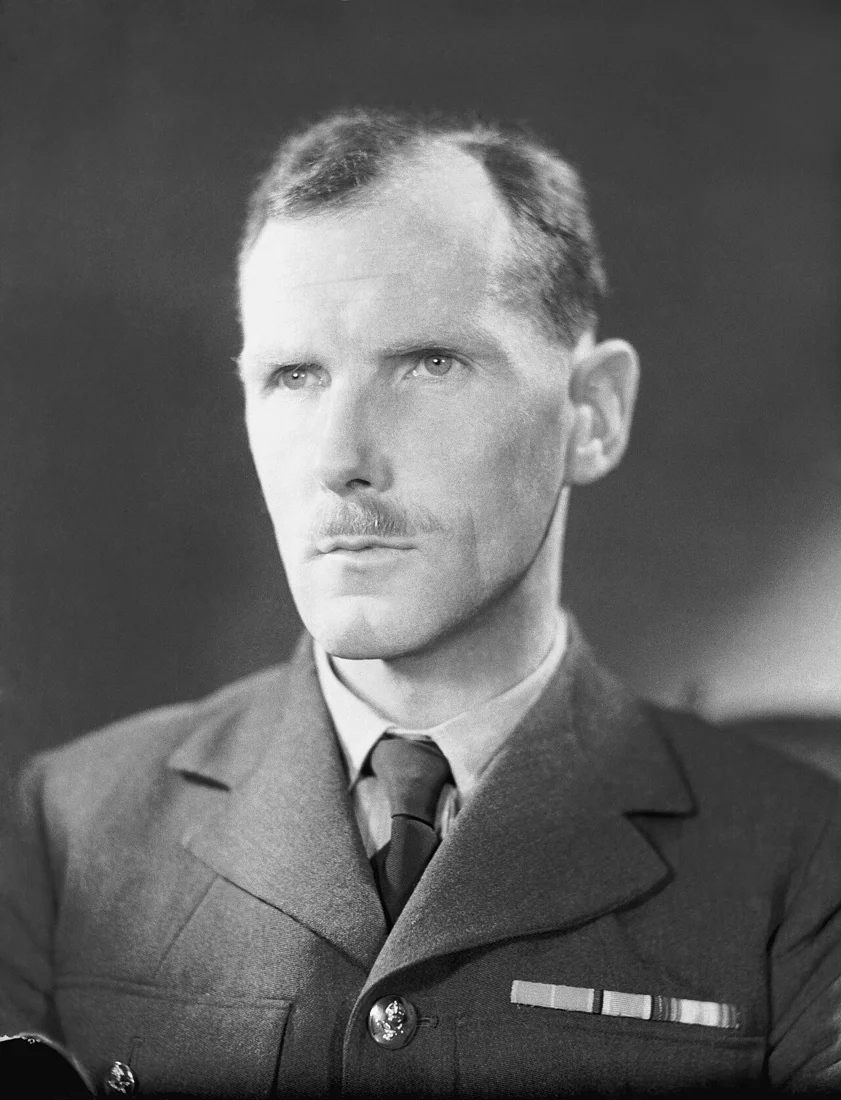
The Met Office’s historical account identifies June 5, 1944, as the initially planned date for the landings. Group Captain James Martin Stagg led the meteorological advice presented to the Allied command. Unsettled Atlantic weather and approaching low-pressure systems made that advice particularly difficult. Eisenhower deferred the operation after the forecast indicated that conditions on the fifth would be too poor.
The D-Day Story museum explains that the planning also had to account for tides and the phase of the moon. Those requirements narrowed the available dates before the weather forecast was added to the problem. A calendar choice therefore involved several conditions that had to be considered together. It was not simply a matter of waiting indefinitely until a general impression of fine weather arrived over the Channel.
A shared forecast did not mean effortless agreement
Stagg coordinated advice from British and American forecasting offices rather than producing the whole forecast alone. The museum’s account emphasizes that their predictions did not always agree. His task included presenting a single usable assessment to Eisenhower and the other commanders at Southwick House. The decision to launch belonged to the command, informed by that advice, rather than to the forecaster acting as an independent commander.
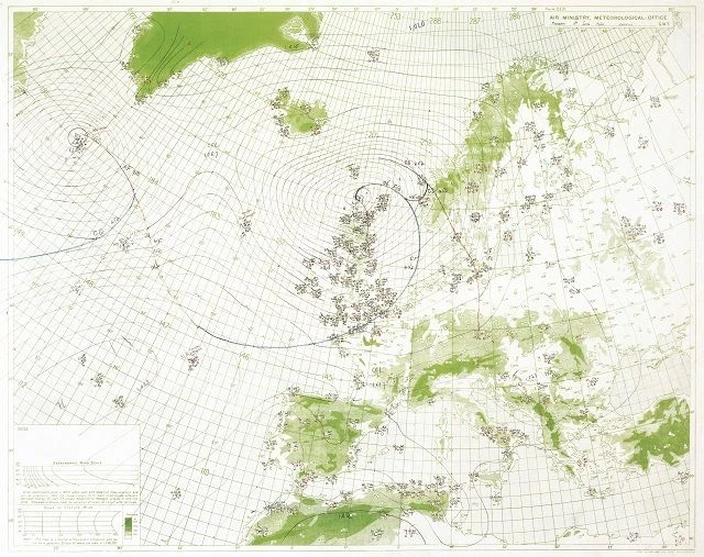
The Met Office describes differences in forecasting approach, including the analysis of recent observations and comparisons with earlier weather patterns. Those approaches had to work with the information and tools available in 1944. The chart reproduced here is a historical working view of the atmosphere, not a modern satellite image. Its lines and symbols make visible the effort to organize scattered observations into something that could support a decision about the near future.
June 6 offered an opening, not ideal conditions
The crucial forecast identified a limited improvement for June 6. The Met Office calls the expected conditions marginal but sufficient for the operation to proceed. That wording is important because a usable opening is different from a guarantee of calm seas and clear skies. It also leaves room to understand the difficulty experienced by people who actually had to carry out the crossing and landings.
The forecast did not remove the challenges of getting men and equipment ashore at Omaha Beach. Our account of the Higgins boat’s bow ramp examines one part of that physical operation, while Mulberry A, the temporary harbor looks at a later logistical challenge. The barrage balloons and the 320th Battalion add another dimension of support and protection. These different subjects belong together without making weather the single explanation for everything that happened on the beach.
Read the decision through records as well as hindsight
On September 9, 2026, the Royal Navy reported the rediscovery of bound meteorological volumes at Devonport. It highlighted a report written by Stagg on June 22, 1944, about the weather requirements and implications of the invasion. That later wartime assessment is a different kind of document from a forecast produced before the decision. Comparing the two helps separate what could be advised beforehand from what could be evaluated after the landings had taken place.
The Omaha Beach landmark guide introduces the place, while Omaha Beach, Code Name: Overlord describes the Immmersiv encounter. Read what to expect for its actual format and consult the experience page for practical details. This historical account does not establish present weather, sea conditions, or a route beyond the published experience. It invites a more precise question at the shoreline: what did the planners need to know before a date could become history?
Discover an Immmersiv Experience
Explore Omaha Beach – Code Name: Overlord with a professional actor embodying an American GI. This article provides background for your curiosity. It does not promise stops or access beyond the published experience route. Consult the current experience page for its route and practical details.